Scafell Pike
At 978 metres (3,209 ft), Scafell Pike is the highest mountain in England. It is located in the Lake District National Park in Cumbria.
It is sometimes confused with the neighbouring Sca Fell, to which it is connected by the col of Mickledore. The name Pikes of Sca Fell was originally applied collectively to the peaks now known as Scafell Pike, Ill Crag and Broad Crag, which were considered subsidiary tops of Sca Fell (which looks higher from many angles).
The summit was donated to the National Trust in 1919 by Lord Leconfield in memory of the men of the Lake District "who fell for God and King, for freedom, peace and right in the Great War".
Scafell Pike is one of three British mountains climbed as part of the (National) Three Peaks Challenge.
Ascent routes
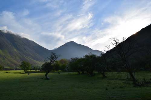
Wasdale Head
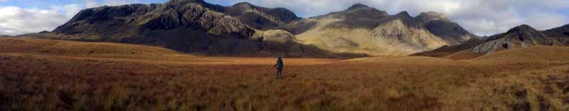
The ascent of Scafell Pike is most often attempted from Wasdale Head. This is at the north end of Wastwater to the west of the Pike, and is at about 80 metres above sea level. On summer weekends, crowds of people can be found attempting this steep but straightforward walk.
An alternative ascent from Wasdale approaches up a hanging valley whose head is at Mickledore, which is itself ascended, before following the path from Sca Fell to the Pike.
Seathwaite Farm
A more taxing, but scenically far superior, approach begins at Seathwaite Farm at the end of Borrowdale, proceeding via Styhead Tarn, then taking the Corridor Route (formerly known as the Guides Route), a delightful walk along the western flank of the Sca Fell massif with intimate views of the mountain, before joining the route from Wasdale near the summit. The return journey can then be made along a high ridge, taking in any or all of the neighbouring summits of Broad Crag, Ill Crag, Great End, Allen Crags and Glaramara. An alternative route from Borrowdale, longer but perhaps less taxing than that via the Corridor Route, runs from Seathwaite via Grains Gill and the high pass of Esk Hause.
Langdale
A further ascent may be made from Langdale. From the Old Dungeon Ghyll hotel, the route proceeds up alongside Rossett Gill (which perhaps has a more fearsome reputation than it deserves), past Angle Tarn, and then onto Esk Hause before joining a rocky path to the summit. Energetic walkers can vary the return route by ascending Esk Pike and Bowfell from Esk Hause and then come down the Bowfell Band. Another variant which avoids simply returning down Rossett Gill is to head north at the Angle Tarn, over Rossett Pike to join The Cumbrian Way, and descend via Stake Pass adding a mile to the walk. The total distance is about 21 kilometres. Esk Hause is also accessible from Styhead Tarn, making another possible route from Seathwaite.
Eskdale
Another ascent can be made from Eskdale, the longest and most arduous way up but it has some very fine scenery. The route follows the River Esk as far as the Great Moss boggy plateau; walkers then have a choice of ascending steeply up to Mickledore, the low ridge between Sca Fell and Scafell Pike, or following the Esk to its source at Esk Hause. A third possible route up from Great Moss is Little Narrowcove, a steep ascent which emerges onto the ridge a few hundred metres north-east of the summit.